As I plot fishing expeditions for each upcoming season during the offseason period, there is no shortage of resources and materials to examine to help me learn more about a particular body of water I will be visiting. Just because you are fishing a lake or river for the first time doesn’t mean you have to fish aimlessly.
Of course, many of us have modern fishing electronics, and these are a must-have and essential component to any Angler’s arsenal. However, there are times when other considerations must be made, and I am pleased to share with you a great Outdoors product for anglers who will be visiting Ontario waterways in 2016 and beyond.
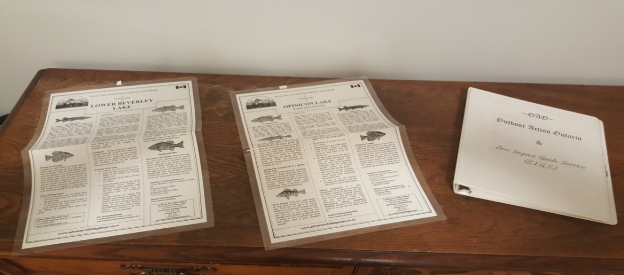
Adventure Maps has been making their fishing maps since 1986. Chances are you may have even purchased one yourself or know someone who has.
Although these maps are not meant to be used for navigation purposes, I can attest to the general accuracy of depth contour lines from my own electronics used in conjunction with the maps. I can also vouch that I pulled specific species out of areas of waterways that designated these spots for those species, such as Smallmouth (SM) or Largemouth (LM) bass, or Walleye (W).
The maps are extremely user-friendly, accurate as already mentioned, and come laminated or on regular map paper. They are also fairly inexpensive. I have some paper maps that I use in my office, but I also used their laminated maps while out Kayak angling in the summer.
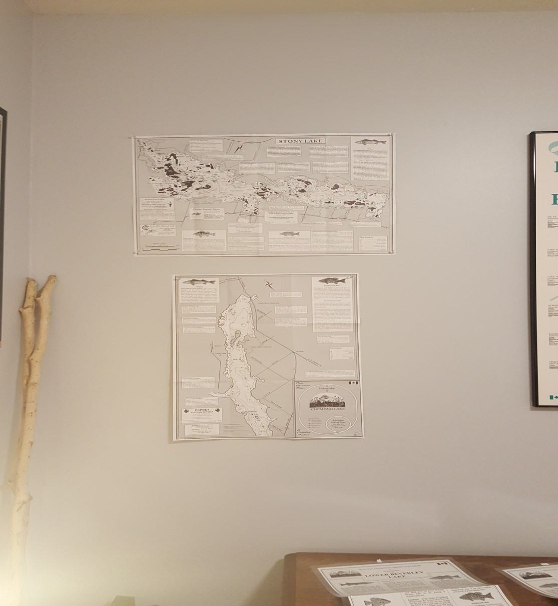
After a weekend spent fishing the Kawartha’s in late August, I wanted to get out on Stony Lake to chase after smallmouth bass which are known to be plentiful in and around the numerous islands on this Kawartha Lakes gem. However, early into my trip, my electronics went dead – I had used the entire battery up and had no reserves.
Despite this, I was able to utilize my Adventure Fishing maps for Stony Lake, which proved quite useful at the time, especially after gripping numerous bass in the 3 to 5 pound range throughout the day. Adventure Fishing Maps saved the day for me as I was able to pinpoint the rocky dropoff depth ranges that the fish seemed to be keyed into, and this meant the difference between putting fish in the boat or casting aimlessly without any true method to my madness. These maps earn Outdoor Action Ontario’s seal of approval.
Here are some of the features you can expect from these quality maps:
- Regional information for the lake you are fishing
- Water depth contour lines
- Features of the lake, such as rocks, weeds, etc.
- Fish habits
- Boat launch and lake directions
If you want to learn more about this product, and for purchasing information, please visit Adventure Fishing Maps’ official site: http://www.adventurefishingmaps.on.ca/